1
/
of
2
Barbara's Bookstore Collectibles
Antique Maps of the 19th Century World
Antique Maps of the 19th Century World
Regular price
$35.00 USD
Regular price
Sale price
$35.00 USD
Unit price
/
per
Couldn't load pickup availability
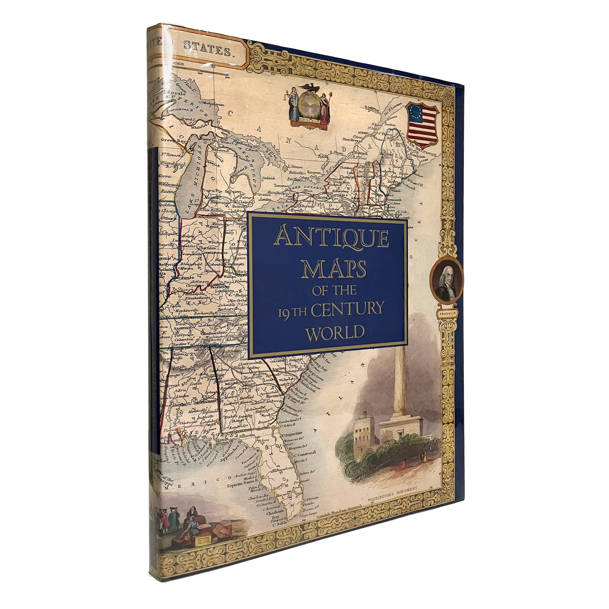
Antique Maps of the 19th Century World
Montgomery Martin, editor
Portland House 1989
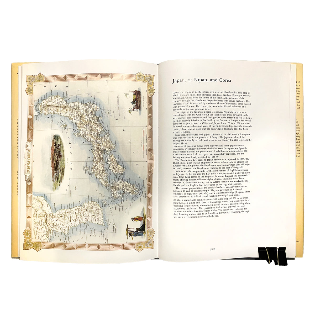
Hardcover. Fine. Blue cloth with gilt lettering over spine. Dustjacket is fine; now in archival mylar. A gorgeous full-size reprint of The Illustrated Atlas and Modern History of the World, first published 1851 by John Tallis & Company. 84 maps and illustrations in full-color. Oversized, 356 X 254 mm.
Share


